July 22, 2025
Contact: Brian Consiglio, consigliob@missouri.edu
Photos by Abbie Lankitus
Invasive plants are meeting their match.
Driven by the desire to protect Missouri’s ecosystems, a University of Missouri research team created a low-cost method to track the spread of invasive Callery pear trees in mid-Missouri — shedding light on where they are now and where they might be headed.
These trees, known for their rapid growth, ecological harm and unpleasant odor, have overtaken large swaths of the Midwest and Eastern United States, crowding out native species and breaking easily during storms. In response, Missouri’s legislature recently joined other states in banning their sale.
Callery pear trees have recently begun encroaching on Missouri’s Mark Twain National Forest — a development that sparked Justin Krohn’s interest.
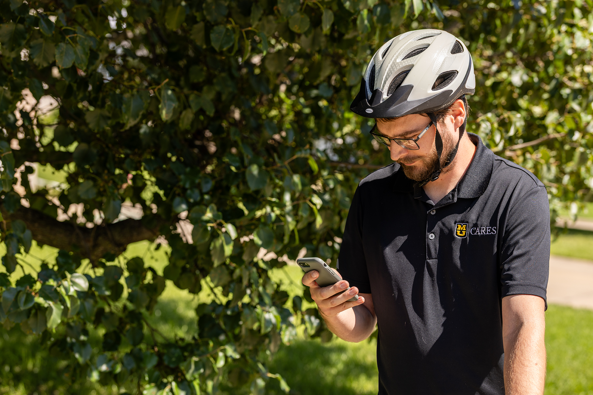
Now, Krohn — a research project analyst and graduate student at Mizzou — is using satellite imagery available for free for research purposes, combined with machine learning, to locate these invasive trees more affordably than using expensive drones or aircraft imagery.
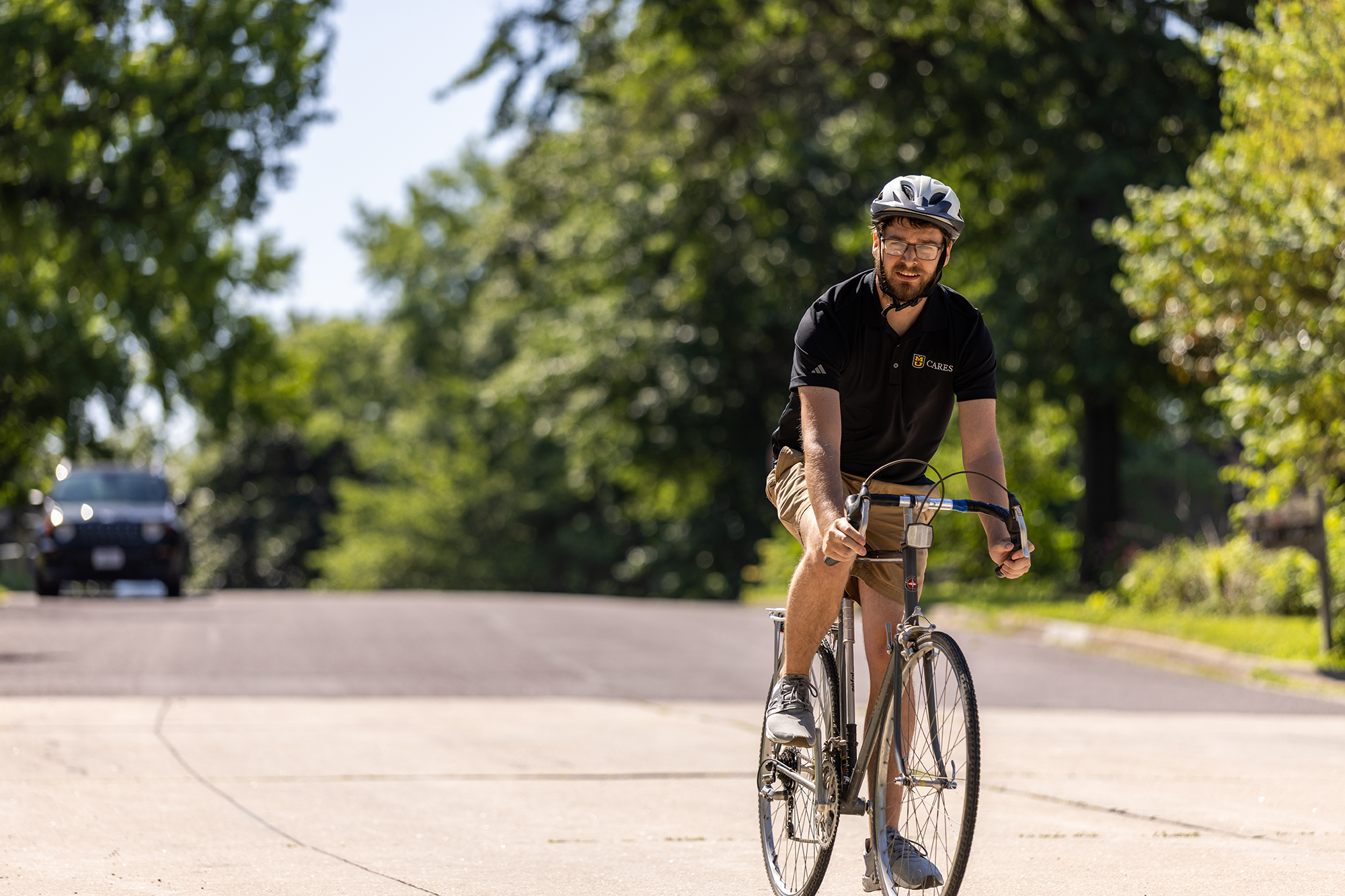
In a recent study, Krohn explored Columbia, Missouri, with a GPS device to log the exact locations of Callery pear trees. Then, he applied machine learning — a form of artificial intelligence — to satellite images, teaching a model to distinguish these trees from their surroundings based on light reflection.
His investigative work revealed that suburban areas with more open land have more Callery pear trees than Columbia’s urban areas, where there is less open room for these trees to spread.
“These trees like moving into disturbed areas, such as near new housing developments and alongside roads,” Krohn said. “As Columbia continues to grow, we may be able to use the trends we noticed to better predict where these trees are likely to spread. If the areas where they might spread are treated proactively — whether that’s roadside clearings or growing native plants — that may help stop these invasive trees from taking over, better protecting our ecosystem.”
Curiosity continues to drive the work forward. The same method Krohn developed could be used to track other invasive species, such as honeysuckle or kudzu, and potentially monitor disease spread in trees.
“My long-term goal is to have an online interface where people can download either the models themselves or the code behind them so they can apply it to different invasive species in different regions of the world,” Krohn said. “I want to help those focused on plant management and invasive species to be able to benefit from this technology without having to spend a lot of money on imagery.”
The research is a collaborative endeavor, drawing on Mizzou’s deep bench of expertise — including the College of Agriculture, Food and Natural Resources; the Center for Applied Research and Engagement Systems; MU Extension; the U.S. Forest Service; and the MU Institute for Data Science and Informatics. It reflects Mizzou’s land-grant mission to serve the state by protecting its ecosystems.
“There is a lot of potential for this technology to be used to ultimately protect the environment, and it feels great to be doing this work at Mizzou,” Krohn said. “Making things cheaper and more accessible ultimately helps more people benefit from research, not just those who are AI experts.”
“Detecting the distribution of Callery pear (Pyrus calleryana) in an urban U.S. landscape using high spatial resolution satellite imagery and machine learning” was published in Remote Sensing.