Oct. 16, 2020
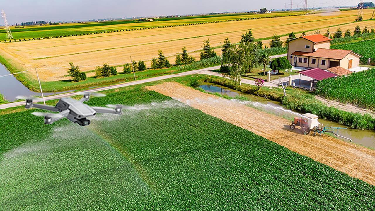
Imagine being able to assess the health of a single plant in the middle of a field by automatically analyzing a photo of it. The technology exists today by capturing aerial video footage with a drone, but it’s not practical. Now, a Mizzou engineering team is devising a way to more efficiently create high-resolution panoramic-style images that can be used to make timely decisions on the farm.
While the technology to capture aerial footage with a drone currently exists, the images are often low-resolution, and it takes time to analyze video sequences. This new technology could be a game-changer for farmers who currently rely on manual or expensive processes to monitor fields.
Mizzou researchers are already using drones available to the public to capture video over a maize field at MU South Farm. Toni Kazic, an associate professor of engineering, said the technology is helping her manage her field. “Right now, I have to walk through the field and look at every single plant — and that’s a lot of work,” she said. “To use an image for management problems such as bugs, drought or other stressors, we really need a lot of detail. We can’t capture that from high altitudes without sophisticated, expensive equipment.”
The research and technology can one day be used to help farmers worldwide, and at Mizzou, manage their crops more efficiently.


